
Route summary
| Distance | Moving time | Total | Spots | Via points | Route | Elevation | Difficulty level |
| 12,7 KM | 2h30 (aprox) | 4h (aprox) | 47 | 22 | 224.3º Truly North | Elevation: Minimum: 418m Maximum: 711m Média: 578m |
Moderate/hard |
Altimetry and distance graph:


€ 20.00
(preços para grupos sob consulta)
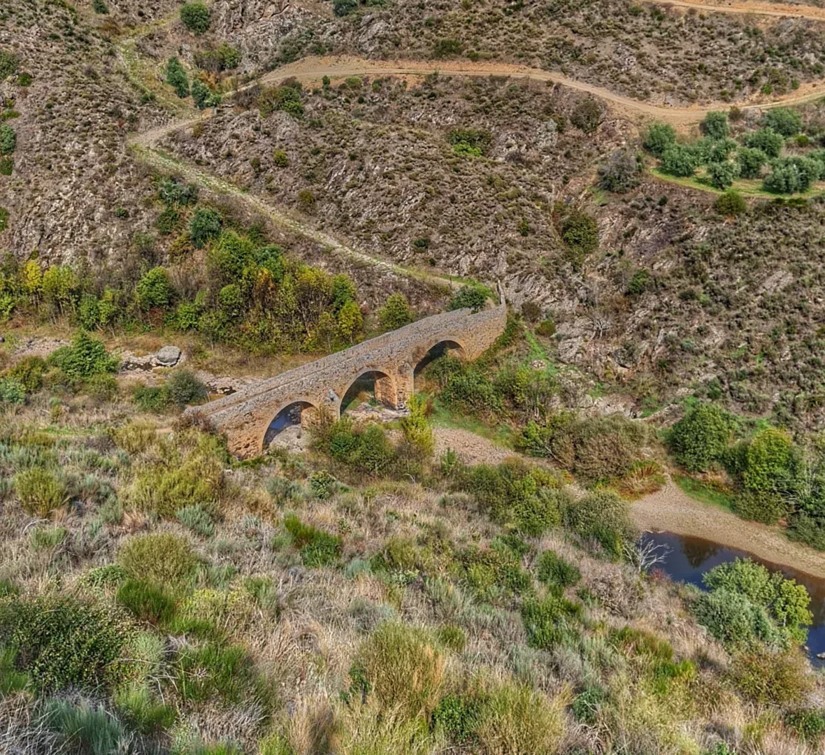
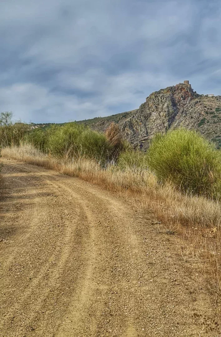
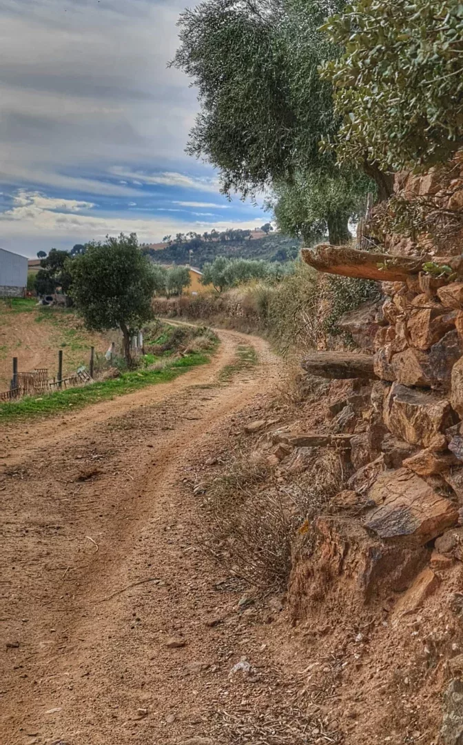
Starting at the stone bridge in Algoso over the Angueira river and overlooking the castle, we will walk along roman sidewalks that once served as logistical accesses to what was the first defensive line in Portugal.
Available on back-order
| Distance | Moving time | Total | Spots | Via points | Route | Elevation | Difficulty level |
| 12,7 KM | 2h30 (aprox) | 4h (aprox) | 47 | 22 | 224.3º Truly North | Elevation: Minimum: 418m Maximum: 711m Média: 578m |
Moderate/hard |
Altimetry and distance graph:
Taking into account the situation aimed at preventing the spread of the SARS-CoV-2 virus and the commitment of Natoursabor as a company with the Clean & Safe quality seal, participants should be accompanied by:


Reviews
There are no reviews yet.